
Key Takeaways:
- A topographic survey maps land features – elevation, terrain, structures, utilities, and water bodies
- Elevation is displayed using contour lines measured against NAVD88 datum
- Required by most Florida municipalities before issuing construction or zoning permits
- Supports site planning, grading plans, drainage design, and foundation placement
- Residential surveys cost 1,000–5,000+; commercial projects start at $10,000
- Needed when building, subdividing land, applying for permits, or designing drainage systems
- Topographic survey = physical features; boundary survey = legal property lines
- Core Action Group serves developers, engineers, and architects across Broward and Palm Beach County
Understanding the land is the foundation of any successful construction project. If you’re in the planning stages of a potential building project and wondering, “what is a topographic survey,” read on – this blog breaks down everything you need to know about topographic surveys, the way they’re conducted, and how they help your construction.
What Is A Topographic Survey?
Topographic survey explained:
A topographic survey refers to a precise and detailed measurement of the physical features of a piece of land. This includes information about manmade and natural features such as:
- Elevation changes
- Terrain
- Vegetation
- Existing structures
- Utilities
- Roads
- Water bodies
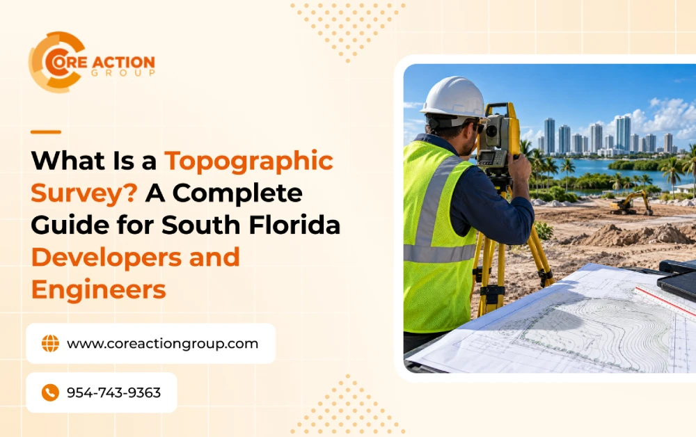
Topographic surveys are done by professionally licensed surveyors, who present the information they gather in a topographic map. Elevation data is shown using contour lines. A topographic map provides a clear understanding of the site’s existing conditions for designers, builders, and engineers to plan their construction.
What Is A Topographic Survey Used For?
Well, what is a topographic survey used for? When it comes to planning construction, what isn’t it used for!
A topographic survey supports decision-making in every phase of a project, from site planning to permitting to optimizing a construction project’s ROI. Here’s how topographic surveys support a construction project:
- Better site planning – Project teams can only decide how best to use the land if they have a clear picture of the land’s layout. Any civil engineering for site development is based on the information relayed through the topographic map.
- Designing structures that work with the land – Designers use the data collected to optimize designs, which minimizes environmental impact and saves money.
- Easier permitting process – Topographic surveys are required by many municipalities when applying for construction permits. Everything from drainage analysis to zoning approvals depend on these surveys.
- Safer construction – Construction requires topographic surveys for the grading plan, precise excavation, and foundation placement.
What Are Topographic Survey Deliverables?
Topographic surveys include a wide range of detailed information, and what your topographic survey delivers depends on the specific needs of your project. Most surveys will include the following:
- Contour lines and ground elevation, measured per NAVD88 datum
- Location and gradient of vegetation such as trees and shrubs
- Roads, sidewalks, driveways, and curbs
- Existing structures such as fences, buildings, and walls
- Utilities, poles, fire hydrants, and manholes
- Rivers, ponds, lakes, and drainage ditches
If you also need property boundaries, our firm can also include property boundary surveys. This information is rendered in 2D or 3D drawings to be used throughout the planning and building process.
Who Needs A Topographic Survey?
Topographic surveys are typically used by people who are planning to either construct on or change the terrain. If you’re wondering what a topographic survey is, chances are you may fall into one of the following categories:
- You’re thinking of building a new commercial building, new home, or road
- You’re planning to subdivide a property or develop raw land
- You’re applying for building or zoning permits
- You’re designing a drainage or stormwater system
- You’re planning design and construction
- You’re looking to manage runoff or improve site grading
Remember – it’s always better to get data early and make informed decisions than to deal with expensive surprises down the road.
Work With Trusted Surveyors Today
CORE Action Group is an experienced and accredited surveying firm that has helped hundreds of residential and commercial projects come to fruition. If you’re looking for a topo survey for construction Florida builders trust, call CORE Action Group to work with trusted surveyors today.
FAQs
How much does a topographic survey cost in South Florida?
Since topographic surveys require extensive data collection, surveyors typically charge based on the manhours necessary to survey a specific terrain. A topographic survey in South Florida for standard residential properties can range between $1,000 and $5,000+, while larger infrastructure or commercial projects start at $10,000 and can go upwards of $70,000.
When do I need a topographic survey for construction?
You should get a topographic survey if:
- You’re thinking of building a new commercial building, new home, or road
- You’re planning to subdivide a property or develop raw land
- You’re applying for building or zoning permits
- You’re designing a drainage or stormwater system
- You’re planning design and construction
- You’re looking to manage runoff or improve site grading
What are the differences between a topographic survey vs boundary survey?
A topographic survey maps the land’s physical features, whereas a boundary survey defines legal property lines. If you’re building near a property line, you may need both.