
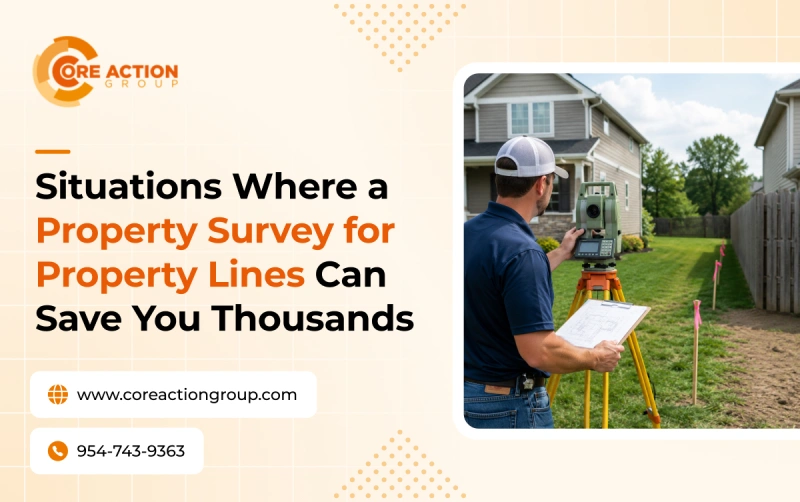
Land surveys are a foundational step for many projects. Whether you’re building a new fence, planning to purchase a property, or getting ready to construct a new house, getting a professional property survey for property lines is essential for avoiding unnecessary costs and disputes down the road. Here’s how getting a property line survey can save you time and money.
How A Property Survey for Property Lines Saves You Money
1. Establishing accurate property boundaries
Having a professional confirm the boundary lines before you build a structure or purchase a property helps you avoid building over the line and prevents disputes with neighbors in the future. Even if disputes do arise, a boundary survey done by a professional, accredited surveyor is very strong proof in court and helps resolve the issue quickly. You don’t want to accidentally build on your neighbor’s property and end up getting wrapped in a court case or having to tear down and do an expensive rebuild.
2. Precisely map topographic features
Professional land surveyors precisely map and measure to centimeter-level accuracy using advanced tools like electronic theodolites and GNSS receivers. A property boundary survey helps you map boundaries even through difficult features like a creek or wetland. If you’re considering a home addition, mapping property boundaries doesn’t just help show you where your property ends, but also the best place for fence installation or pool construction.
3. Understanding easements
Easements are restrictions on how a property can be developed. Easements also often aren’t highlighted in public records in a way that property buyers may immediately understand. A property survey for property lines will show you where certain easements are so you can plan accordingly; for example, a utility easement on your property may restrict where you can place landscaping or build structures.
If you went ahead and built on it, you may end up having to pay fines and tear the structure down.
4. Preventing encroachments
Getting a property survey for property lines helps pinpoint encroachments, helping to support real estate transactions and construction projects and resolve disputes. Building on an encroachment has legal implications; similarly, you may also discover that your neighbor has built on land that is legally yours.
5. Raises property value
Accurate and up-to-date land surveys assure buyers that they don’t have to worry about future disputes over building on easements and encroachments, enhancing a property’s value. This is especially true if the buyer plans to build on the property, as a residential land survey shows them where they can repurpose the land and which areas are suitable for building.
6. Environmental planning
Property surveys identify environmentally sensitive areas such as protected habitats, flood zones, and wetlands. This helps everyone from developers to residential builders comply with environmental regulations.
7. Helps you get a better deal
On the buyer’s side, getting a property survey for property lines reveals crucial details about the land and helps you decide whether or not the property is worth it. By identifying easements and encroachments, boundary surveys help developers plan their next steps on a potential property.
CORE Action Group Offers Trusted Land Surveying
From simple residential home additions to multi-million dollar construction projects, getting a professional property survey for property lines is key to proper planning and avoiding costly disputes. CORE Action Group is an accredited land surveying firm that has helped provide the necessary information to hundreds of builders for successful projects. Call CORE Action Group for land survey services today!