
Commercial Topography Survey - Broward County, FL- CORE ACTION GROUP, LLC
Call 954-743-9363 to Request a Free Consultation Today
Permit-ready deliverables for Broward County building applications
25+ Years of Expertise in the Surveying Industry
Based in Hollywood, FL - licensed to survey all of South Florida
As a licensed Topographic survey company, Core Action Group, LLC combines more than 25 years of surveying experience with the latest survey technology to deliver accurate topographic surveys.
We are in full compliance with Florida Administrative Code (FAC) 5J-17 and Broward County permitting standards, delivering permit-ready topographic survey data that meets all local and state requirements.
Need an ALTA survey instead? See our ALTA Land Title Survey page.
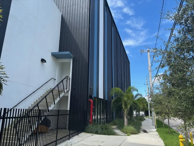
What Is a Commercial Topography Survey?
A topography survey in Broward County maps the elevation, contours, and existing features of your site – ground levels, drainage, structures, pavement, utilities, trees, and more.
For commercial projects involving civil engineering surveys, a civil engineer uses this data to design grading, drainage systems, and site layouts.
In Broward County, even a minor elevation difference can affect whether your site drains properly, which flood zone it falls into, and whether your SFWMD permit application gets approval.
An accurate commercial topography survey in Broward County is the starting point.
Our land survey & topography service in Broward County provides on-time, accurate, rapid commercial surveys.
When Do You Need a Topographic Survey in Broward County?
A topographic survey in Broward County is typically required in the following situations:
• Prior to new commercial construction projects
• For Site Planning & Engineering
• For Land Development or Zoning Applications
• Construction Grading and earthwork design
• Flood zone topography determination
• Renovation or expansion of existing commercial properties
• Before Landscape or Drainage Improvements
If your project involves any site plan design, grading plan preparation, drainage analysis, or permitting in Broward County, a topographic survey must be the first step.
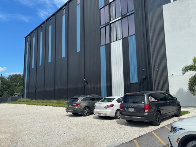
Topographic Survey for Commercial Development in Broward County
Broward County has unique challenges such as low-lying terrain and dense coastal urban development. To avoid costly errors, your team must comply with all current local and state regulatory standards.
Our professional land surveyors strictly adhere to Florida Administrative Code (FAC) 5J-17, making sure all survey data and final reports meet Florida requirements.
Our land survey topography service meets the FEMA Elevation Certificate standards and local Broward County water management guidelines. This compliance ensures your project passes regulatory review smoothly.
Our Topographic Survey Process
Research & Records Review
We pull historical property deeds, right-of-way maps, and benchmark data relative to national vertical datums.
Field Data Acquisition
Our field crews deploy to your Broward County site using calibrated electronic instruments and GNSS equipment to map all physical features.
Data Processing & CAD Drafts
Back-office technicians gather the field coordinates, construct elevation contours, GPS survey data, and map the existing utilities while preparing 3D terrain models.
Quality Control & Signing
A licensed Professional Surveyor and Mapper (PSM) reviews the final plans to verify accuracy before approving.
We also conduct topographic surveys prepared using the NAVD88 datum when required by project specifications.
Deliverables: Contour Maps, CAD Files & Permit-Ready Reports
When you partner with us for obtaining a Broward County building permit survey, you receive professional-grade, standard-compliant, accurate elevation data:
Here’s what we provide-
Fully Detailed Contour Maps
Scaled contour maps showing ground elevations at 1-foot or 2-foot intervals, clearly depicting drainage patterns, high and low points, and existing site features across your Broward County property.
Permit-Ready PDF Reports:
Stamped and signed survey documents prepared by a licensed PSM, formatted for direct submission to Broward County building and permitting offices.
Compatible CAD Files:
CAD (.dwg) and Civil 3D-compatible files delivered electronically, ready for immediate use by your civil engineer, architect, or site planner - no additional drafting required.
We also conduct topographic surveys prepared using the NAVD88 datum when required by project specifications.
Topography Survey Cost in Broward County
Every commercial property is unique.The cost of a commercial topographic survey is determined by several factors, including:
- Property size
- Site accessibility
- Existing improvements
- Terrain mapping complexity
- Required detail
- Project schedule
- Deliverables requested
Contact Core Action Group, LLC for a quote based on your project’s specific requirements.
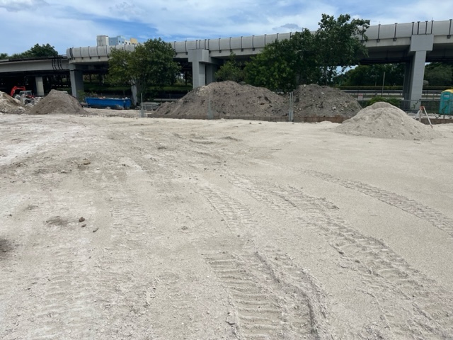
Cities We Serve in Broward County
Based in Hollywood, FL, we’re licensed to survey commercial properties throughout South Florida.
Give us a call for a site development survey today.
Request a Topography Survey Quote
Ready to get started? Call us at 954-743-9363 to submit your property and project details. We’ll follow up with a quote, no obligation.
FAQ
Commercial topographic survey cost varies depending on the property’s size, terrain, and project complexity.
When performed by a licensed surveyor using modern equipment, a topography survey in Broward County provides highly accurate elevation and site feature data for engineering and construction.