
Land Surveyor Jupiter, FL — Commercial, Coastal & Intracoastal Surveys
Experienced Surveyors with 25+ Years of Expertise in the Surveying Industry
Licensed land surveying services for commercial properties, coastal developments, and boundary verification throughout Jupiter and Northern Palm Beach County.
Based in Hollywood, FL – licensed to survey all of South Florida
Core Action Group, LLC is a trusted commercial land survey company serving Jupiter, FL
Our team of licensed Professional Surveyors and Mappers (PSM) provides boundary surveys, ALTA/NSPS land title surveys, topographic surveys, and construction staking for businesses, developers, and property owners across Jupiter, FL.
Whether you’re planning a new development or require an accurate boundary survey before construction, give us a call.
Our surveying company in Jupiter, Florida brings the technical accuracy and insight that your project needs.
Our Core Commercial Survey Services
ALTA Land Title Surveys in Jupiter
Boundary Surveys for Commercial Properties
Construction Surveys for Jupiter Developers
Topographic
Surveys
Coastal & Intracoastal Property Surveys
Commercial Surveying Services in Jupiter, FL
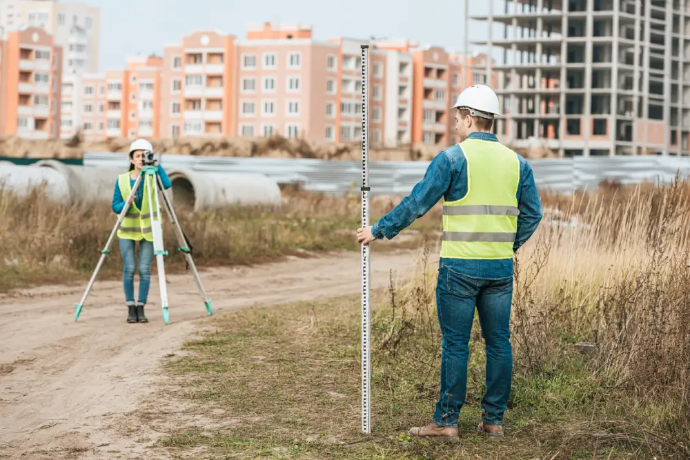
From small commercial lots to multi-acre development sites, our Jupiter commercial land survey team handles the complete survey work your project requires: boundary verification, topographic mapping, ALTA surveys for title insurance, and as-built surveys for completed construction.
What is the purpose of a survey for a commercial property in Jupiter, FL?
In Jupiter, FL, commercial land surveys help with flood and storm mitigation planning, local permitting, dispute prevention, and meeting lender and title insurance requirements.
Coastal & Intracoastal Property Surveys
Our surveying company in Jupiter provides on-time, accurate, rapid commercial surveys in Jupiter, FL.
ALTA Land Title Surveys in Jupiter
An ALTA survey in Jupiter is often required by lenders and title companies before closing on commercial real estate.
What is included in an ALTA survey?
An ALTA survey is a highly detailed land survey that conforms to ALTA/NSPS standards and maps property boundaries, improvements, easements, and encroachments. Our commercial survey company in Jupiter is in full compliance with the 2026 ALTA/NSPS Minimum Standards and clearly documents boundary lines, easements, encroachments, utilities, and improvements — giving buyers, lenders, and attorneys the documentation needed to make confident decisions. At Core Action Group, LLC, we provide accurate ALTA land title surveys you can trust.
Our commercial survey company in Jupiter is in full compliance with the 2026 ALTA/NSPS Minimum Standards and clearly documents boundary lines, easements, encroachments, utilities, and improvements — giving buyers, lenders, and attorneys the documentation needed to make confident decisions.
At Core Action Group, LLC, we provide accurate ALTA land title surveys you can trust.
Boundary Surveys for Commercial Properties in Jupiter
Is a topographic survey necessary for development?
Topographic Surveys - Jupiter & Northern Palm Beach County
Is a topographic survey necessary for development?
Jupiter requires a topographic survey to map your property’s exact ground elevations, drainage, and protected trees. This data is mandatory to get building permits and ensure your project won’t cause flooding or canopy damage, and a professional commercial surveyor in Jupiter can help you with that.
Core Action Group, LLC, delivers accurate topographic survey data that helps engineers, architects, and developers plan with confidence.
Construction Surveys for Jupiter Developers
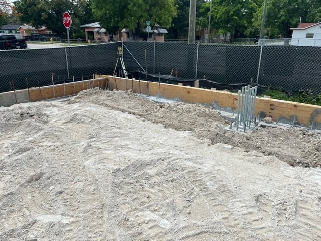
In Jupiter, FL, development projects move fast, and accurate construction staking is required to keep them on schedule. Our survey company in Jupiter, Florida, provides site layout, grading stakes, and as-built verification for commercial development survey work.
What is a construction survey?
A construction survey in Jupiter, Florida, is the process of a professional surveyor marking the exact spots on your property where your approved project—like a home addition, pool, or any commercial structure will be built.
At Core Action Group, LLC, we help contractors avoid costly rework by providing accurate data.
Coastal & Intracoastal Property Surveys in Jupiter
Properties along the Jupiter Inlet and the Intracoastal Waterway come with unique surveying requirements, such as erosion lines, riparian rights, and mean high water boundaries.
Our coastal survey services cover waterfront commercial and residential properties in Jupiter, FL.
When should I schedule a coastal property survey?
Get an Intracoastal Waterway survey as soon as you plan to buy, sell, or build on a waterfront property. Because coastal properties have strict flood, environmental, and boundary laws, an early survey can prevent expensive legal delays and building mistakes.
Call Core Action Group, LLC today for an accurate and rapid Jupiter Inlet survey.
Why Jupiter Businesses Choose Core Action Group, LLC
- Licensed Florida Professional Surveyors & Mappers (PSMs)
- 25+ years of combined South Florida surveying experience
- Serving Jupiter & Northern Palm Beach County
- 5-Star Google Reviews
- Experts in commercial, coastal, Intracoastal & waterfront surveys
- Advanced GPS, LiDAR & drone technology
- Accurate, reliable survey data
- CAD & GIS-ready deliverables
- Environmentally compliant surveying
- Precise FEMA Elevation Certificates
- Trusted for flood zone compliance
- Fast turnaround- most projects completed in 5-10 business days
Our survey company in Jupiter, Florida, also provides residential development surveys!
FAQs
Commercial survey costs depend on the property size, survey type, and site conditions. Contact our survey company in Jupiter, Florida, for a customized quote tailored to your project.
A boundary survey confirms your property’s legal boundaries. An ALTA/NSPS Land Title Survey provides more detailed information, including improvements and easements, and is often required for commercial real estate transactions.
Yes. Intracoastal properties often require additional surveying to identify waterfront boundaries, seawalls, easements, and other site-specific conditions. Survey requirements vary depending on the property’s location and planned development.
You typically need a topographic survey before planning new construction, site development, renovations, or major land improvements.